Weather Advisory
Affected Area
Coulee City, Fairfield, Hayden, Airway Heights, Downtown Spokane, Number 1 Canyon, Pangborn Airport, Creston, Ritzville, Worley, Winchester, Wilbur, Craigmont, Wallace, Lewiston Grade, Kellogg, Pinehurst, Fernwood, Cashmere, Spokane Valley, Entiat, Culdesac, Lapwai, Moses Lake, Othello, Waterville, Dobson Pass, Peck, Quincy, Wenatchee, Ephrata, Chelan, Gifford, Badger Mountain Road, Rockford, Harrington, Mullan, Nezperce, Soldiers Meadow Road, Odessa, Cheney, Post Falls, Coeur d’Alene, Grand Coulee, Davenport, Osburn, Lewiston, Number 2 Canyon, Mansfield, Kamiah, Lookout Pass, and St. Maries
Description
…WIND ADVISORY IN EFFECT FROM 6 PM THIS EVENING TO 10 AM PST TUESDAY…
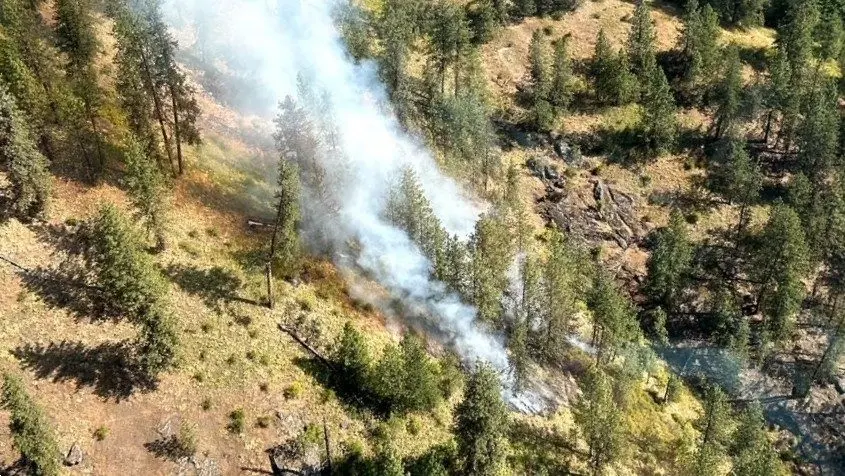
WHAT…Southwest winds 20 to 30 mph with gusts up to 50 mph expected. Localized stronger winds will be possible over the Waterville Plateau and lower Columbia Basin near the Columbia River.
WHERE…Coulee City, Fairfield, Hayden, Airway Heights, Downtown Spokane, Number 1 Canyon, Pangborn Airport, Creston, Ritzville, Worley, Winchester, Wilbur, Craigmont, Wallace, Lewiston Grade, Kellogg, Pinehurst, Fernwood, Cashmere, Spokane Valley, Entiat, Culdesac, Lapwai, Moses Lake, Othello, Waterville, Dobson Pass, Peck, Quincy, Wenatchee, Ephrata, Chelan, Gifford, Badger Mountain Road, Rockford, Harrington, Mullan, Nezperce, Soldiers Meadow Road, Odessa, Cheney, Post Falls, Coeur d’Alene, Grand Coulee, Davenport, Osburn, Lewiston, Number 2 Canyon, Mansfield, Kamiah, Lookout Pass, and St. Maries.
WHEN…From 6 PM this evening to 10 AM PST Tuesday. IMPACTS…Gusty winds will blow around unsecured objects. Tree limbs could be blown down and a few power outages may result.
LC Valley
Today: Overcast. Winds SSW at 10 to 15 mph. Cloudy early then partly cloudy and windy after midnight. Winds SW at 20 to 30 mph. Winds could occasionally gust over 40 mph. 54/43
Tuesday: Partly cloudy early followed by mostly cloudy skies and a few showers later in the day. Winds SW at 15 to 25 mph. Chance of rain 30%. Winds could occasionally gust over 40 mph. Snow showers overnight. Winds E at 15 to 25 mph. Chance of snow 50%. 46/26
Wednesday: Cloudy. A few flurries or snow showers possible. Winds ENE at 15 to 25 mph. Considerable cloudiness overnight. Winds ENE at 10 to 20 mph. 32/16
Palouse
Today: Cloudy. Winds WSW at 15 to 25 mph. Higher wind gusts possible. Windy with showers this evening changing over to rain and snow overnight. Winds WSW at 25 to 35 mph. Chance of precip 70%. Winds could occasionally gust over 50 mph. 46/35
Tuesday: Occasional snow showers. Quite windy early. Winds WSW at 20 to 30 mph. Chance of snow 50%. Winds could occasionally gust over 40 mph. Snow in the evening will give way to lingering snow showers overnight. Winds E at 10 to 20 mph. Chance of snow 70%. Snow accumulating 1 to 3 inches. 38/19
Wednesday: Cloudy skies early, then partly cloudy in the afternoon. Winds E at 15 to 25 mph. Mostly cloudy overnight. Winds ENE at 10 to 20 mph. 25/9
Prairie
Today: Cloudy and windy with snow showers changing to rain showers as the day progresses. Winds SW at 20 to 30 mph. Chance of rain 60%. Higher wind gusts possible. Windy. Rain showers this evening will transition to snow showers overnight. Winds WSW at 25 to 35 mph. Chance of precip 60%. Higher wind gusts possible. 40/31
Tuesday: Occasional snow showers. Temps nearly steady in the low to mid 30s. Winds WSW at 15 to 25 mph. Chance of snow 50%. About one inch of snow expected. Higher wind gusts possible. Variably cloudy with snow showers overnight. Winds E at 10 to 15 mph. Chance of snow 60%. Snow accumulating 1 to 3 inches. 33/16
Wednesday: Cloudy skies. A few flurries or snow showers possible. Winds ENE at 10 to 20 mph. Mainly cloudy overnight. Winds ENE at 10 to 15 mph. 20/6