Current as of 10:30 a.m. PT
There was fire growth overnight. An incoming Complex Incident Management Team is being in-briefed tonight. With them comes more resources, mapping capabilities and larger-scale coordination.
Local agencies are working together to update the community on evacuations and road closures. Idaho Department of Lands is distributing fire information in the impacted communities.
If you can help distribute information, please let us know in the comments. We have an information flyer for printing and posting in communities that we can share.
Facebook resources for evacuation information:
Nez Perce Tribe
Nez Perce County Emergency Management https://www.facebook.com/
Latah County Sheriff’s Office
Gwen Fire Details
Location: East of Lapwai, Idaho by 5 miles
Size: 20,000 acres with updated acres to come
Containment: 0%
Photo: Evidence of structures lost by Whitnee Haas
Communities Impacted: Juliaetta, Lapwai, and Culdesac
Structures: Primary residences, outbuildings and a commercial building are among the structures lost. Structure assessments are underway to further evaluate the extent of the losses.
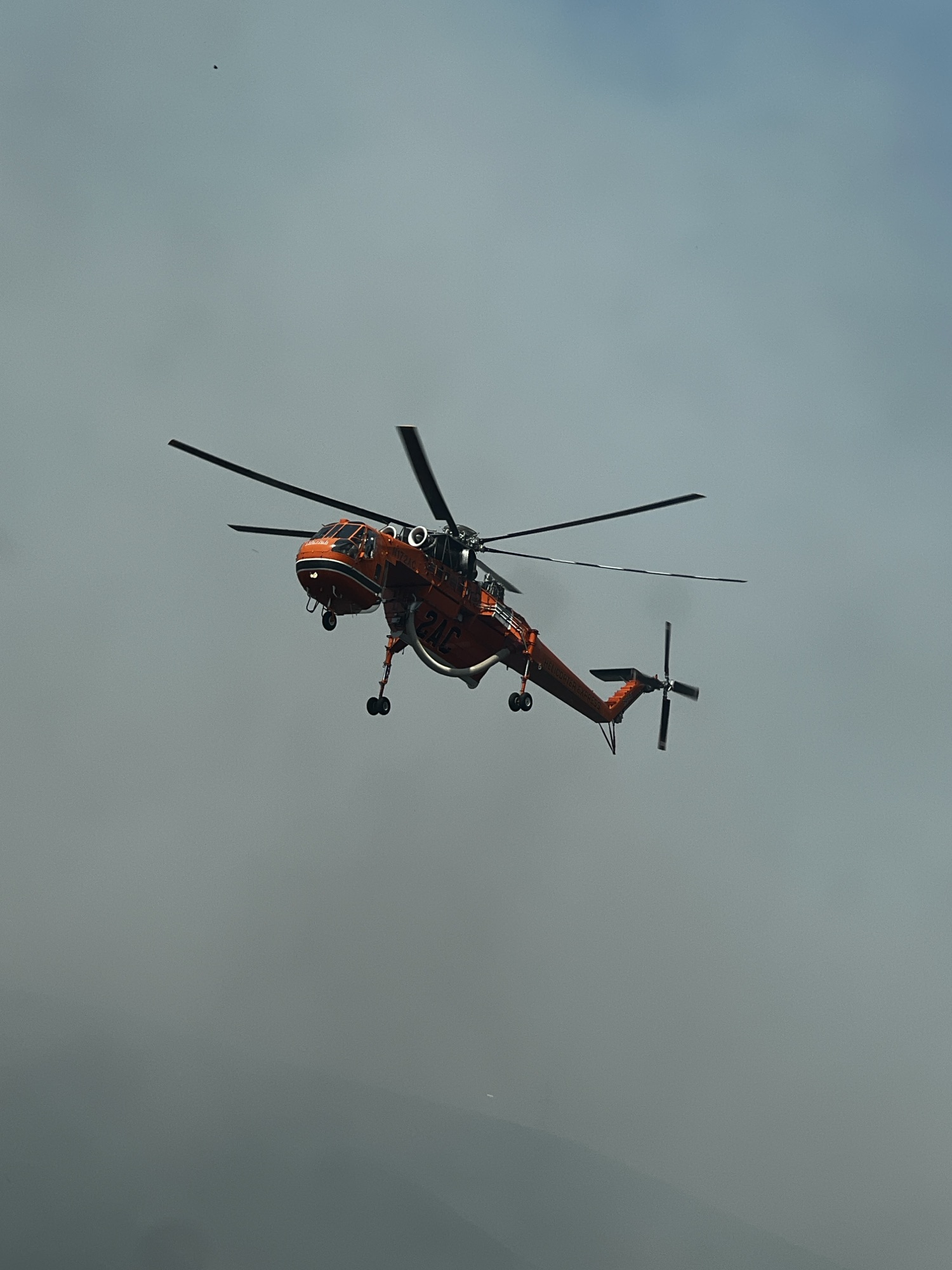
Personnel: Approximately 200 actively assigned to the Gwen Fire
Number of Evacuees: Approximately 300
Road Closures: US Highway 12 is closed between Spalding and Peck. State Highway 3 is closed between Arrow Bridge and Kendrick. Gifford/Reubens Highway is also closed.
Incident background: Multiple fires spread northeast of Lewiston, Idaho after a lightning event Wednesday, July 24. The Gwen Fire and River Fire are combined in one incident called the Gwen Fire.