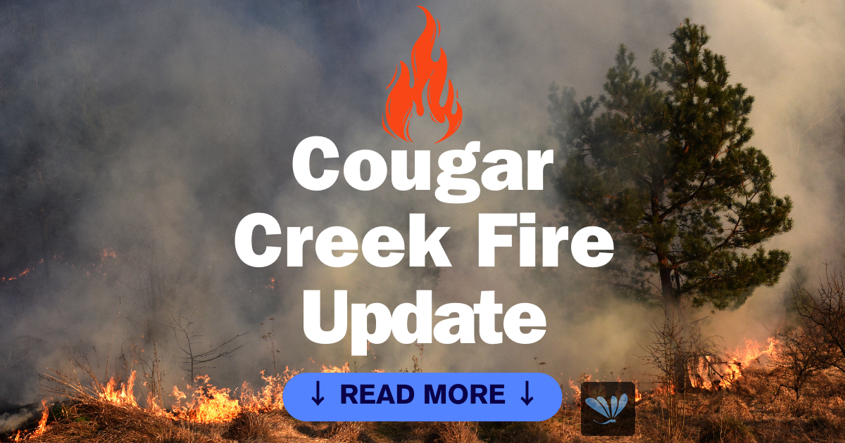
Cougar Creek Fire Daily Update
August 18, 2024
Quick Facts
Size: 24,091 acres Start Date: July 15, 2024 Cause: Under investigation
Location: SW of Clarkston, 1 mile west of Hwy 129 and Grand Ronde River intersection
Containment: 75% Personnel: 238 Fire Strategy: Full suppression
Resources Assigned: 4 crews, 18 engines, 8 water tenders, 3 heavy equipment
The Cougar Creek Fire is burning within a mountainous and remote area on the Umatilla National Forest bordering the Wenaha-Tucannon Wilderness.
Yesterday, falling modules continued the removal of danger trees between Mt. Horrible and Saddle Butte. Hand crews followed the wildland fallers to continue to search for remaining hot spots near the containment lines, extinguishing them when found. Given the steep and rugged terrain, crew safety and pace were evaluated to prevent injuries during operations. Along the 43 road, between the CCC camp and Indian Tom Corrals, wildland engine crews and hand crews backhauled remaining equipment and patrolled to ensure no hot spots were missed with gridding. Near Mountain View and Cougar Creek, rehabilitation of suppression activities, such as internal (not primary) dozer lines, continued.
A thunderstorm formed over the fire area last night, bringing up to a tenth of an inch of rainfall to the area.
Similar to yesterday, today’s operations will primarily focus on mop-up and rehabilitation. Crews will continue to patrol and backhaul equipment. As containment increased, crews are being demobilized and assigned to aid nearby wildfires or are returning to their home units.
Evacuations and Closures: FOREST ROAD CLOSURES HAVE BEEN REDUCED descriptions and maps are available online on the
Umatilla National Forest closure website. Please respect area closure orders and use extra caution while driving for your safety as well as our firefighters. All evacuation orders have been lifted.
Weather and Smoke: High 79/Low 55: Today (Sunday) the threat of thunderstorms and rain will diminish leaving the fire area under mostly clear and drier conditions. Winds will decrease and be out of the southwest at 5 to 7 mph before shifting to the southeast at 5 mph around 4 PM. Daytime RHs will be moderate ranging from 30-40%. Tonight winds will shift to the north northwest and remain between 5 to 7 mph overnight. Overnight RH
recoveries will be good ranging from 46-51%. Monday winds will be quiet to start before shifting to the
north at 5 to 6 mph with daytime RH’s between 30-37%.


