


|
|
|
|
|
|
Hi, what are you looking for?

Public Can Comment on Big Game Season Proposals Feb. 8 and Attend Upcoming Public Meetings
AAA Shares Latest Shipboard Projections, Along With This Year’s Top Travel Trends
Sale of Bonds Results in an Additional $86.5 Million in Facilities Funding for Idaho Public School Districts
Crude Oil Costs Are Falling, Which May Bring Additional Relief at the Pump in Coming Days
Idaho Department of Education Seeks Outstanding Educator Applicants for 2026 CapEd Credit Union Idaho Teacher of the Year
Task Force Receiving Comments on Proposed Parking Rate Increases
Washington State Lawmakers Look for Ways to Build More Housing in Rural Areas
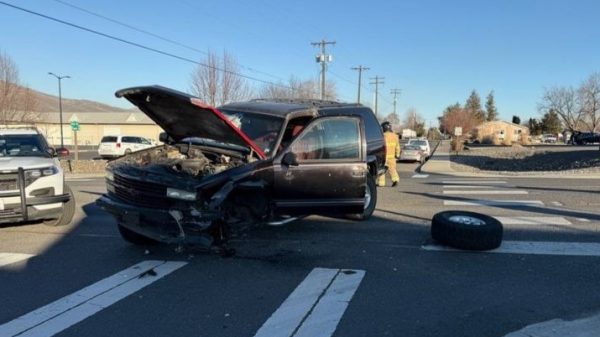
One Person Transported to Hospital After Collision in Clarkston
Washington Medical School Opens up Segregated Resource to All Races Following Lawsuit
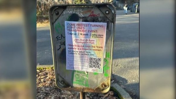
University of Washington Protest Leads to Canceled Turning Point USA Speech on Males in Female Sports
Moscow Police Logs for Thursday, December 19
Crapo, Kelly, Hickenlooper Applaud Language in FY 2025 NDAA to Preserve Air National Guard Fighter Missions
Idaho Electors Cast Official Votes for President and Vice President
Gov. Little, Republican governors join in support of President Trump’s immigration policies
Idaho Electoral College Vote Set for Tuesday
Full Scale Battle Over Diversity, Equity and Inclusion Policies Underway in D.C.
South Dakota Gov. Kristi Noem Confirmed as U.S. Homeland Security Secretary
Trump Imposes Tariffs on Columbia for Refusing to Accept Migrant Flights
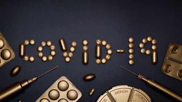
CIA: COVID-19 Likely Originated at Wuhan Lab
Warren Suggests Reducing Arrests, Defunding Charter Schools as DOGE Alternatives
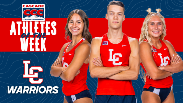
Warrior Track and Field Earns Three CCC Weekly Honors
Lewiston High School and Sacajawea Middle School Cheer Teams Dominate in Boise
Strong Second Half Pushes Warrior Men’s Basketball Past Eagles
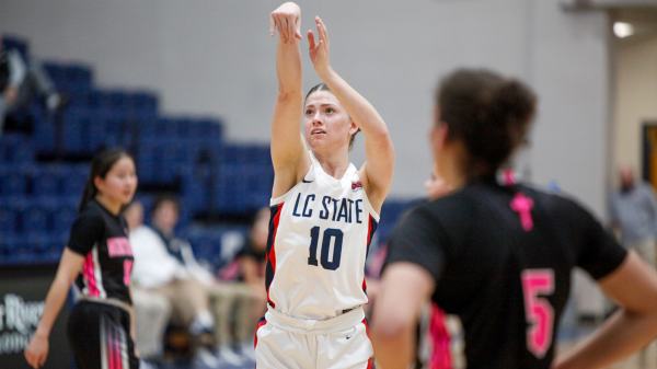
Dominant Defense Secures LC State Women’s Basketball Victory Over Northwest
LC State Women’s Tennis Falls to Idaho State in Boise
On This Day In 1993 “Schindler’s List” opens, wins Steven Spielberg his first Oscar
On This Day In 1941 Pearl Harbor bombed
On This Day in 1955 – Rosa Parks ignites bus boycott
On This Day In 1913 Ford’s assembly line starts rolling
On This Day In 2004 “Jeopardy!” Contestant’s Record Winning Streak Ends
|
|
|
|
|
|
(Clarkston, WA) Asotin County Fire District #1 and Lewiston Rescue crews were called to a two car crash Sunday afternoon about 3 p.m. According...
(Pierce, ID) Idaho State Police responded to a fatal crash that occurred on Tuesday, at approximately 1:30 p.m. on State Highway 11, near French...
(Moscow, ID) University of Idaho is launching the state and region’s first energy institute to address energy-related challenges in Idaho and beyond. A nexus...